 In the years that followed we
began to search the area between the gold beach and the old collapsed mine. we
decided to check the creek between the mountain and the gold beach. We needed to get below
the black box on the sat photo below. We traveled a 600 foot cable car across a canyon
then walked a 2x8 board walk trail for 1 mile to a selective logging operation .
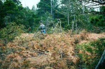
From there we hiked through the forest for about 1 km till we hit the creek. This
creek is very remote , it is about 3 miles long then hits the coast 7 miles out the west
coast trail. We kneeled down and used our hard hats to pan the creek, wow,
what color. in the MPH report we took the geologist to this spot. the cable car was gone
by then so we had to hike the gorge first.
In the years that followed we
began to search the area between the gold beach and the old collapsed mine. we
decided to check the creek between the mountain and the gold beach. We needed to get below
the black box on the sat photo below. We traveled a 600 foot cable car across a canyon
then walked a 2x8 board walk trail for 1 mile to a selective logging operation .
From there we hiked through the forest for about 1 km till we hit the creek. This
creek is very remote , it is about 3 miles long then hits the coast 7 miles out the west
coast trail. We kneeled down and used our hard hats to pan the creek, wow,
what color. in the MPH report we took the geologist to this spot. the cable car was gone
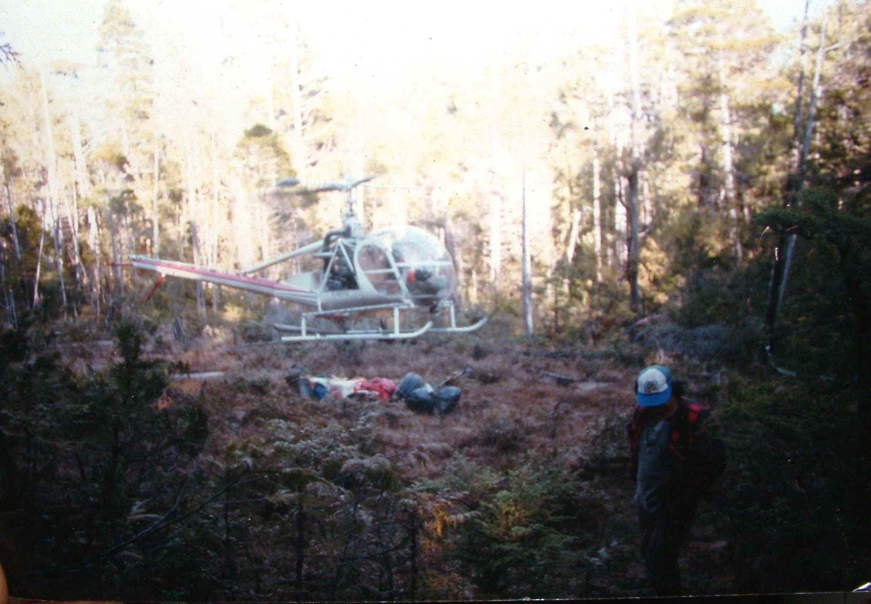
by then so we had to hike the gorge first. One day We found a old ribbon up the creek that had " helicopter pad" written on it. I asked a friend "Jim" if he could drop us of so we could go find slumaches mine. No problem.
 This was
when we found the old lodge pole pine trail mentioned in Indian legends. We built
our own trail from a logging road to the creek were we built a cabin. We continued
searching for the mine.
This was
when we found the old lodge pole pine trail mentioned in Indian legends. We built
our own trail from a logging road to the creek were we built a cabin. We continued
searching for the mine.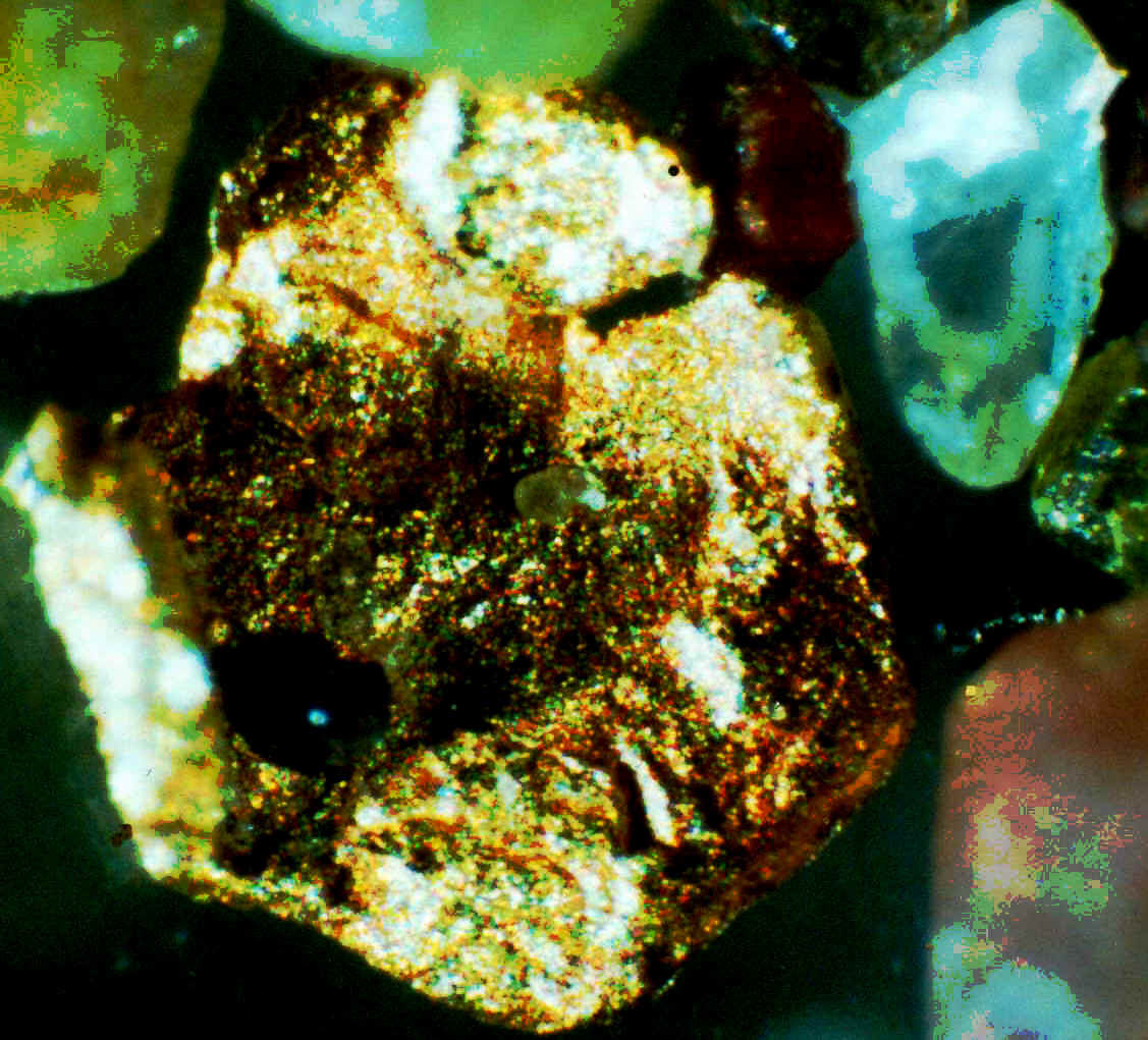
 What I found was A mountain